| Issuer: Canada
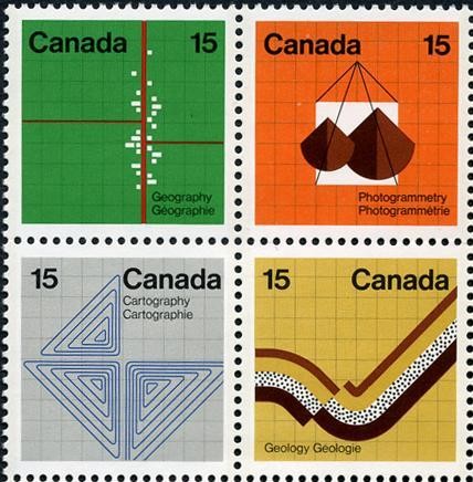
Date: 8/2/1972 (1972 blocks) (4, 2 x 2) 1, 1: 15c d=Aerial View of Town 1, 2: 15c d=Aerial Map Photography 2, 1: 15c d=Contour Lines 2, 2: 15c d=Geological Fault |
External links: Colnect 110560..Earth_Sciences |
| Issuer: Canada
Date: 8/2/1972 (1972 blocks) (4, 2 x 2) 1, 1: 15c d=Aerial View of Town 1, 2: 15c d=Aerial Map Photography 2, 1: 15c d=Contour Lines 2, 2: 15c d=Geological Fault |
External links: Colnect 110560..Earth_Sciences |