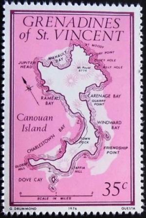
map of Canouan Island
|
Short desc: map of Canouan Island
Things in this design: map map of Canouan Island |
Record of changes |
|
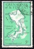
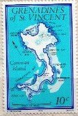
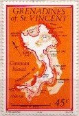
Short desc: map of Canouan Island
Things in this design: map map of Canouan Island |
Record of changes |