StampData
Stamp catalog
Collections
Lists
Joint Issues
Sheets
Notes
Albums
Catalogs
Things
Tools
Statistics
Quiz
Login
Prev:
aerial lift
Next:
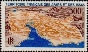
Aerial Map Photography
Aerial map of the Territory
Short desc: Aerial map of the Territory
This design is used by one stamp:
Afars & Issas airmail 11/15/1968 500fr issue=1968 Buildings and Landmarks dt=buildings (1968) perf=13
Record of changes