Image Colnect-874-448-Map-of-Islands.jpg
(304 x 493 pixels) |
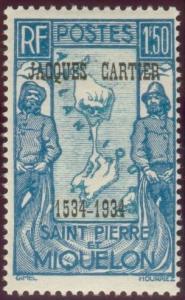
Type: stamp Issuer: St. Pierre & Miquelon Date: 1934 Denom: ?
Visibility: public Image owner: none postage 10/18/1934 1.50fr bl<bl d=map of islands flanked by fishermen ovpt=JACQUES CARTIER//1534 1934 oc=blk on=issue=1932-1.50fr unwmk Crops No visible images cropped from this one. Measurements Resolution is unknown. Source Source name: Colnect File URL: http://i.colnect.net/images/b/874/448/Map-of-Islands.jpg Uploaded August 23, 2014, 4:08 pm by Stan Shebs |