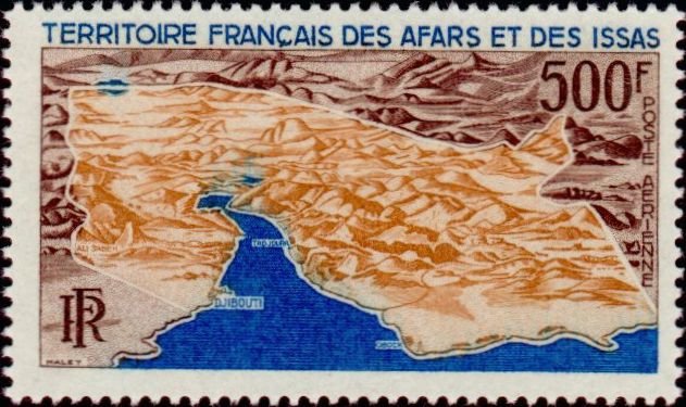
Image Colnect-793-000-Aerial-map-of-the-Territory.jpg

(631 x 375 pixels) |
Type: stamp Issuer: Afars & Issas Date: 1968 Denom: ?
Visibility: public Image owner: none airmail 11/15/1968 500fr multi issue=1968 Buildings and Landmarks dt=buildings (1968) d=Aerial map of the Territory unwmk perf=13 Crops No visible images cropped from this one. Measurements Resolution is unknown. Source Source name: Colnect File URL: http://i.colnect.net/b/793/000/Aerial-map-of-the-Territory.jpg Uploaded August 25, 2014, 12:48 am by Stan Shebs |