Image Colnect-3436-570-Majuro-navigational-stick-chart.jpg
(319 x 371 pixels) |
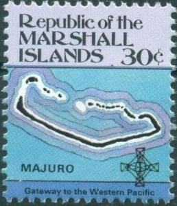
Type: stamp Issuer: Marshall Islands Date: 1984 Denom: ?
Visibility: public Image owner: none postage 6/12/1984 30c multi issue=1984 dt=maps & navigational instruments d=map of Majuro & navigational stick-chart unwmk perf=15x14 Crops No visible images cropped from this one. Measurements Resolution is unknown. Source Source name: Colnect File URL: http://i.colnect.net/b/3436/570/Majuro-navigational-stick-chart.jpg Uploaded May 18, 2017, 2:12 pm by Stan Shebs |