Image Colnect-1327-462-Map-of-Africa.jpg

(301 x 400 pixels) |
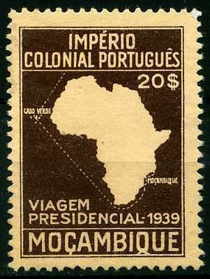
Type: stamp Issuer: Mozambique Date: 1939 Denom: ?
Visibility: public Image owner: none postage 7/17/1939 20e d=presidential visit unwmk perf=11.5x12 Crops No visible images cropped from this one. Measurements Resolution is unknown. Source Source name: Colnect File URL: http://i.colnect.net/images/b/1327/462/Map-of-Africa.jpg Uploaded August 27, 2014, 3:43 pm by Stan Shebs |