Image Colnect-1265-309-Map-of-the-Caribbean-and-Central-America.jpg
(322 x 168 pixels) |
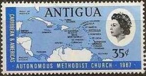
Type: stamp Issuer: Antigua Date: 1967 Denom: ?
Visibility: public Image owner: none postage 5/15/1967 35c issue=Methodist Church autonomy d=Map of the Caribbean & Central America wmk=St Edwards crown & CA perf=14.5x13.5 Crops No visible images cropped from this one. Measurements Resolution is unknown. Source Source name: Colnect File URL: http://i.colnect.net/b/1265/309/Map-of-the-Caribbean-and-Central-America.jpg Uploaded August 28, 2014, 9:18 pm by Stan Shebs |