Image Colnect-1070-001-Map-of-Tanganjika-and-Sansibar.jpg
(328 x 396 pixels) |
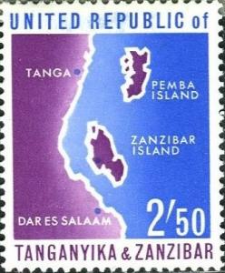
Type: stamp Issuer: Tanzania Date: 1964 Denom: ?
Visibility: public Image owner: none postage 7/7/1964 2.50sh bl&vio issue=unification d=Map of Tanganyika & Zanzibar unwmk perf=14x14.5 Crops No visible images cropped from this one. Measurements Resolution is unknown. Source Source name: Colnect File URL: http://i.colnect.net/b/1070/001/Map-of-Tanganjika-and-Sansibar.jpg Uploaded August 21, 2014, 3:24 pm by Stan Shebs |