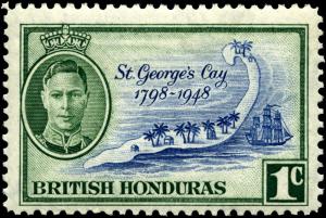
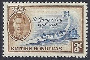
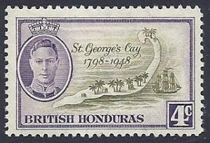
map of St George's Cay
|
Name: map of St George's Cay
Type: map Appearing in designs: map of St George's Cay (3 stamps of British Honduras, 1949) No synonyms. Record of changes |
Prev map: Map of St Eustatius
Next map: map of St Johns English Harbour Prev symbol: map Next symbol: maple leaf Wikipedia article |