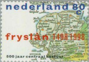
Map of Friesland Province 1498
|
Short desc: Map of Friesland Province 1498
Things in this design: map Map of Friesland Province 1498 |
Record of changes |
|
Short desc: Map of Friesland Province 1498
Things in this design: map Map of Friesland Province 1498 |
Record of changes |