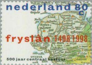
Map of Friesland Province 1498
|
Name: Map of Friesland Province 1498
Type: map Appearing in designs: Map of Friesland Province 1498 Netherlands 6/9/1998 80c issue=500th Anniversary of the Central Administration of Friesland No synonyms. Record of changes |
Prev map: Map of French Speaking African Countries
Next map: map of Funafuti Prev symbol: map Next symbol: maple leaf Wikipedia article |